Tsingy de Bemaraha
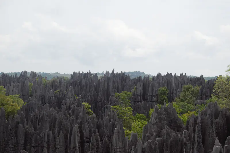
A limestone plateau cut into pinnacles up to 100 metres high. It has been a World Heritage Site since 1990.
How the pinnacles formed
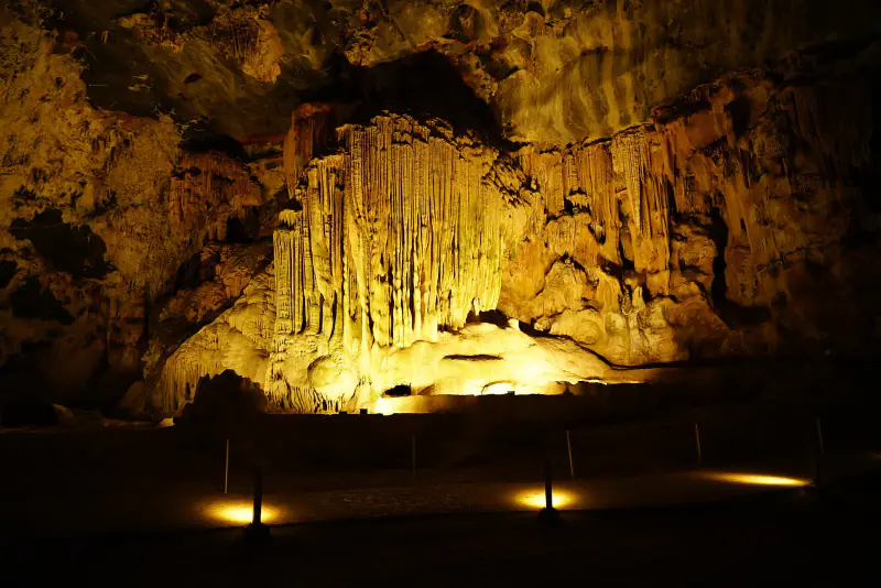
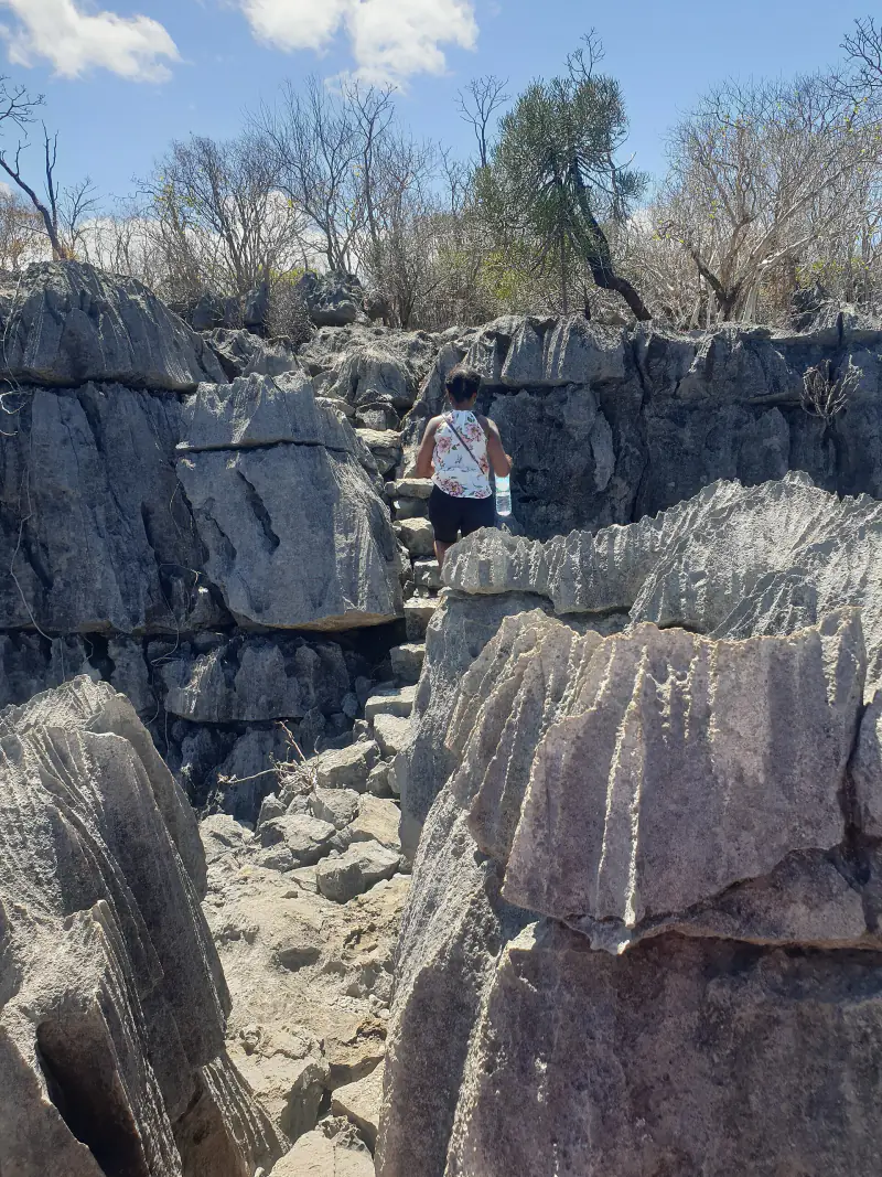
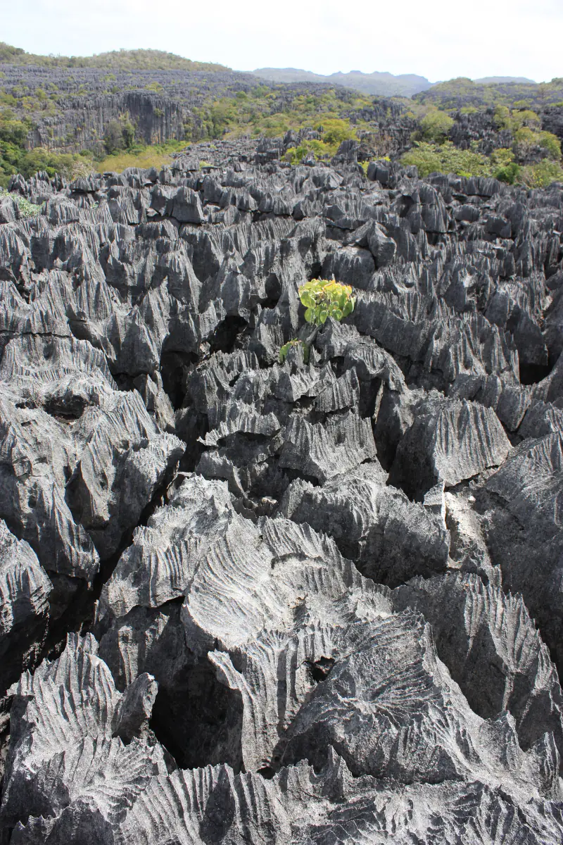
Groundwater first dissolved caves and fissures along the joints in a thick bed of limestone. Later the roofs collapsed and rain sharpened what was left. The result is a grid of narrow canyons separated by rock blades.
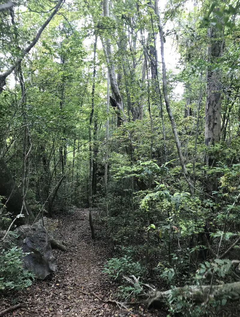
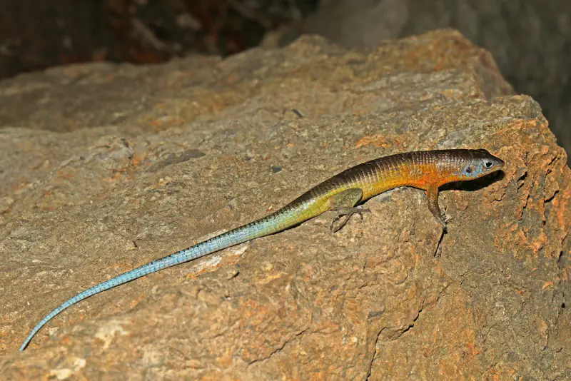
Dry forest grows in the canyons and on the tops. Many plants and animals here live nowhere else.
Tsingy de Bemaraha at a glance
- Location
- Melaky region, western Madagascar
- World Heritage
- since 1990
- Rock
- Jurassic limestone
- Pinnacles
- up to about 100 m high
- Meaning of tsingy
- where one cannot walk barefoot
- Wildlife
- lemurs, including Decken's sifaka
- Open
- roughly May to November
- Routes
- walkways, ladders and suspension bridges
Great Tsingy and Little Tsingy
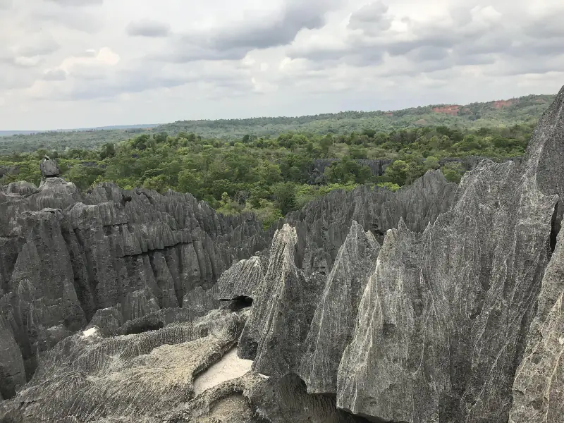
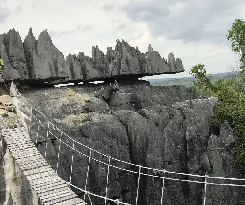
The Little Tsingy is near the village of Bekopaka and can be seen on a short walk. The Great Tsingy takes most of a day. The route uses cables, ladders and a suspension bridge, and visitors wear a harness.
Boat trips on the Manambolo river pass caves and old tombs in the gorge.
Ankarana and its caves
Ankarana, in northern Madagascar, is a smaller tsingy with more than 100 kilometres of surveyed cave passages beneath it. Underground rivers there are home to crocodiles, which is unusual for a cave.
Tsingy de Bemaraha in figures
In pictures
Select a photograph to enlarge it. Authors and licences are listed in the photo credits.
Before you go
Getting there
Bekopaka is reached by a rough road from Morondava that takes a full day and includes river ferries. The road is closed in the rainy season.
On the visit
A park guide is required. The Great Tsingy route needs a head for heights and reasonable fitness.
Good to know
Most visitors combine the park with the Avenue of the Baobabs near Morondava.
Opening times, access rules and prices change. Confirm them before you travel: parcs-madagascar.com.